

Water Well Drilling & Pump Repair in Campbell, TX | DFW Well Service
Service Area Overview
Licensed well drilling and pump service around Campbell in eastern Hunt County, reaching the Nacatoch Sand at roughly 300 to 650 feet.
Services We Provide in Campbell
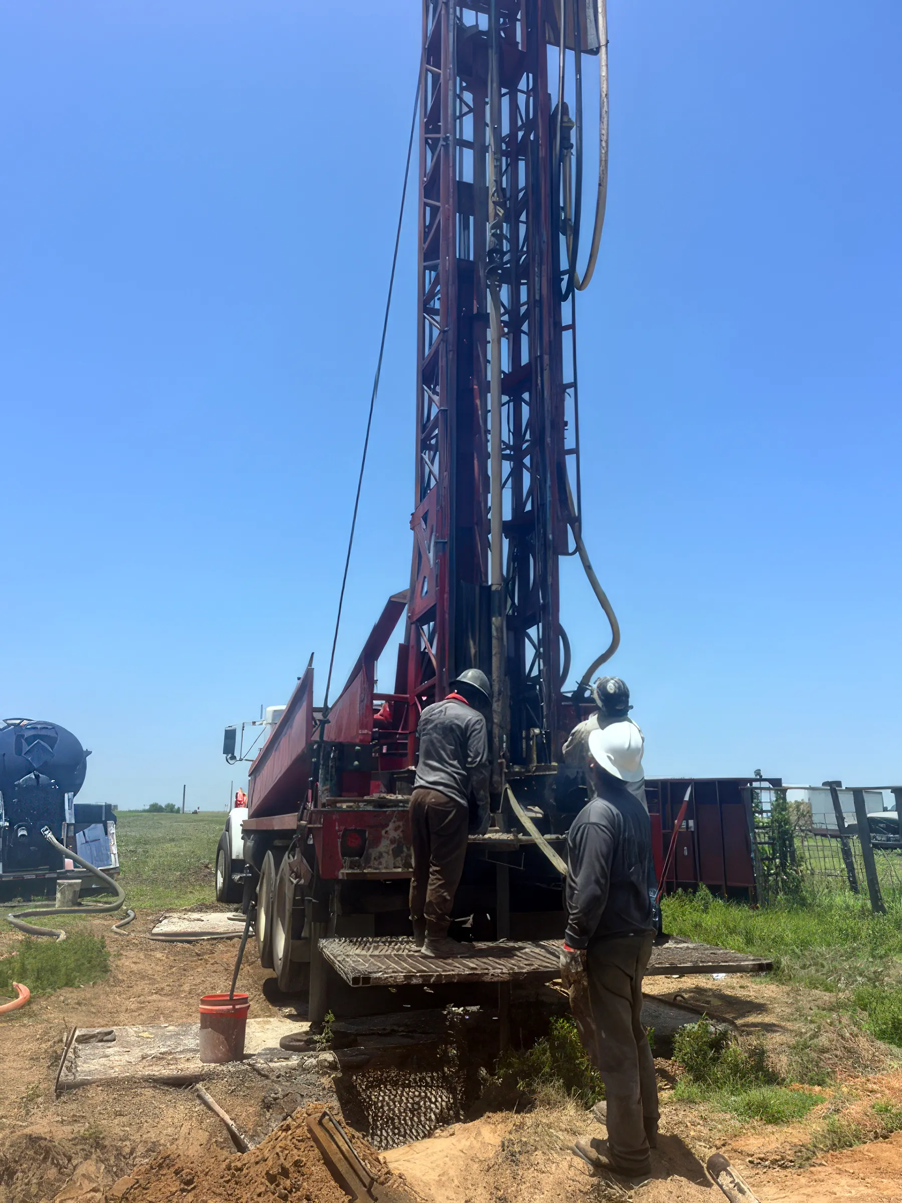
DFW Well Service (TDLR License #61234 DKMPW) provides water well drilling, pump repair, and inspection services in Campbell and throughout eastern Hunt County. Campbell is a small rural community a few miles east of Greenville, and many of the surrounding acreage properties depend on private wells for reliable water. Our licensed team is ready to help with new installations and service work.
Well Depth & Geology in the Campbell Area
About this diagram
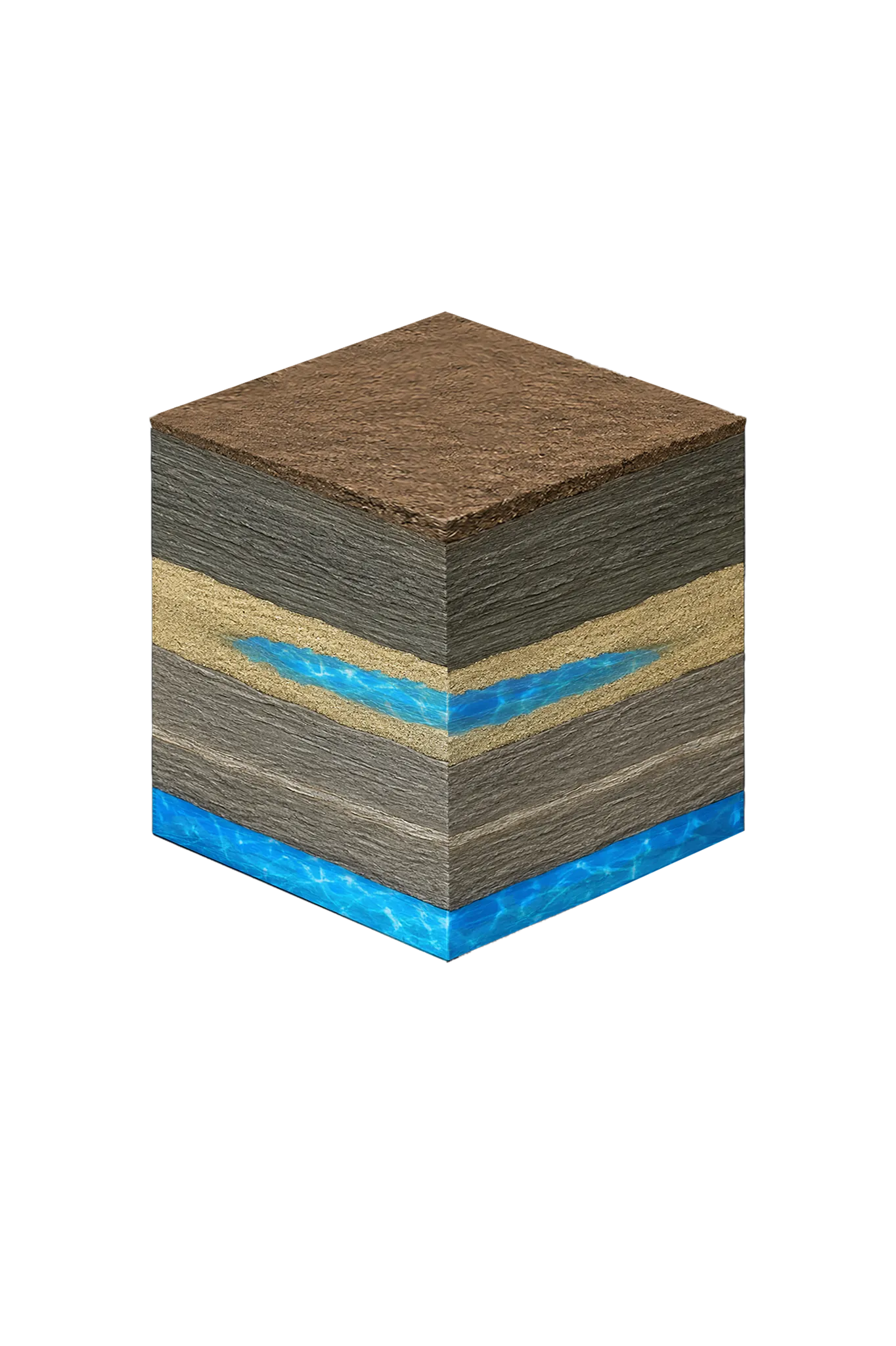
This cross-section shows the rock layers beneath Campbell from topsoil down to the Nacatoch Sand aquifer system.
Tap any layer in the cube — or in the list below — to see what it is and what it means for drilling a well here.
- Topsoil — Blackland margin / Post Oak Savanna sandy loam0–15 ft
- Navarro Group clays and marls (Kemp Clay, Corsicana Marl)15–300 ft
- Nacatoch Sand300–650 ft
- Taylor Group (incl. Wolfe City Sand) / Austin Groupbelow 650 ft
This shows the layer stack typical of the Campbell area. The exact formations and depths under a specific property vary — see the details above.
- Primary Aquifer
- Nacatoch Sand
- Typical Well Depth
- 300–650 ft
- Groundwater District
- No GCD — TDLR standards only
- Confinement
- minor outcrop aquifer — outcrops in a belt from north of Commerce SW through Cash, dips to the SE
Secondary: Woodbine (good water near Celeste only; saline a short distance south)
Hunt County overview → Permit & regulations → TDLR License #61234 DKMPW Updated August 7, 2026
Wells around Campbell tap the Nacatoch Sand — a unit of the Navarro Group — not the Trinity or the Woodbine that show up on generic North Texas well descriptions. The Trinity runs far too deep to drill for a home (regional projections exceed 3,000 feet), and the Woodbine only yields good water up around Celeste in the northwest of the county. The Nacatoch outcrops in a belt running from north of Commerce southwest through Cash and dips toward the southeast.
Campbell sits east of Greenville on the downdip side of that belt, so the sand tends toward the deeper end of its 300-to-650-foot range and is more likely to carry higher dissolved solids than the fresher updip wells. Nacatoch water is soft and sodium-rich rather than the hard, calcium-heavy water common in Trinity wells to the west.
Hunt County Permit Requirements
Hunt County has no active groundwater conservation district, so well construction follows TDLR statewide standards rather than a local district permit. You do not need a GCD permit before drilling. However, we hold a current TDLR license, build every well to the Texas Well Construction Standards, and file the Well Report with TDLR after completion. For the full picture, see our guide to Hunt County water well regulations.
One honest wrinkle worth knowing: because there is no district and the Nacatoch recharges very slowly — and faulting can sharply separate one part of the aquifer from another — a neighbor’s heavy pumping can have a real and lasting effect on your well, with no local avenue to address it. We will factor that into how we site and size your well.
DFW Well Service is fully licensed and handles all required TDLR reporting on your behalf. Call (940) 536-8560 for a free estimate on any new well or service project in Campbell or Hunt County.