Planning a well in Dallas County?

We answer the phone.
When you call, you’ll get a real person — often Matt Muller himself, not a machine. We stay in touch because it’s the right way to do business, and we show up when we say we will.
Water Well Drilling & Service in Dallas County, Texas
Dallas County sits over the Trinity (deep, confined) aquifer system (deep, confined, downdip). Most residential wells target the Trinity Group (Paluxy, Glen Rose, Twin Mountains); depth varies meaningfully across the county and is best estimated from neighboring TWDB well records. Dallas County sits outside all groundwater conservation districts — TDLR standards govern. Local water quality consideration: Deep Trinity water in Dallas County often runs hot — roughly 90–100°F or more — and high in total dissolved solids (TDS, a measure of how mineral-heavy the water is); a Lancaster-area Trinity sample measured 2,038 mg/L TDS.

Services We Provide in Dallas County
What’s Under Dallas County: a Layer-by-Layer Look
About this diagram
This cross-section shows the actual rock formations beneath Dallas County, from topsoil down to the Trinity aquifer system.
Tap any layer in the image, or any layer in the list, to explore each layer and what it means for drilling a well on your property.
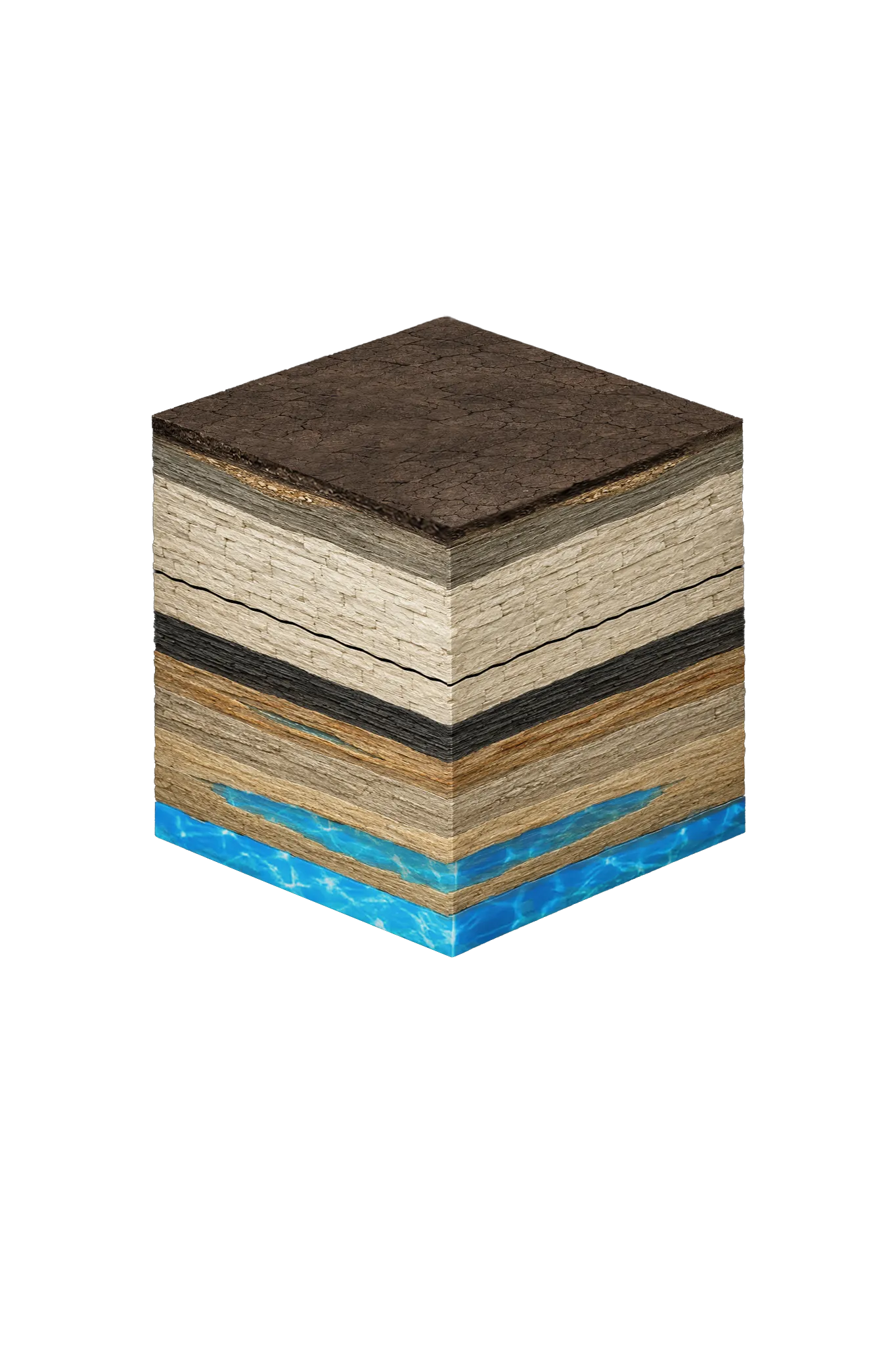

- Topsoil — Blackland Prairie vertisol0–12 ft
- Austin Chalkvaries
- Eagle Ford Groupbelow Austin Chalk
- Woodbine Group600–1,500 ft
Dallas County stratigraphy — top to bottom
- Topsoil — Blackland Prairie vertisol
- Dark gray-black clay with heavy shrink-swell — it swells when wet and shrinks when dry.
- Austin Chalk
- Thick chalk and limestone that forms the White Rock escarpment; water barely moves through it, so it acts as a seal, with only the occasional flow through cracks.
- Eagle Ford Group
- Dark shale and mudstone; a regional barrier layer (an aquitard) that water does not pass through.
- Woodbine Group
- A minor water-bearing sandstone where it is developed, layered with shale and clay. In Dallas County it sits roughly 600–1,500 ft down — far deeper than an ordinary household well reaches.
0–12 ft
varies
below Austin Chalk
600–1,500 ft
Dallas County stratigraphy — top to bottom
- Topsoil — Blackland Prairie vertisol (0–12 ft)
- Dark gray-black clay with heavy shrink-swell — it swells when wet and shrinks when dry.
- Austin Chalk (varies)
- Thick chalk and limestone that forms the White Rock escarpment; water barely moves through it, so it acts as a seal, with only the occasional flow through cracks.
- Eagle Ford Group (below Austin Chalk)
- Dark shale and mudstone; a regional barrier layer (an aquitard) that water does not pass through.
- Woodbine Group (600–1,500 ft)
- A minor water-bearing sandstone where it is developed, layered with shale and clay. In Dallas County it sits roughly 600–1,500 ft down — far deeper than an ordinary household well reaches.
Drilling in Dallas County means starting in topsoil, working through Quaternary alluvium / terrace (Trinity River corridor only), Taylor Group (eastern Dallas County only), Austin Chalk, Eagle Ford Group, Woodbine Group, Washita and Fredericksburg confining units, to reach the Trinity Group (Paluxy, Glen Rose, Twin Mountains) — the producing zone for most domestic wells.
The full layer-by-layer stratigraphy is laid out under the cube above. Well depth in Dallas County varies by property location and overburden thickness; we review TWDB records for neighboring wells to refine the expected completion zone before drilling.
Dallas County Quick Facts
- Primary Aquifer
- Trinity (deep, confined)
- Typical Well Depth
- Varies by location
- Groundwater District
- No GCD — TDLR standards only
- Confinement
- deep, confined, downdip
Secondary: Woodbine (deep, confined)
We estimate from nearby well records
Water Quality Notes
- Deep Trinity water in Dallas County often runs hot — roughly 90–100°F or more — and high in total dissolved solids (TDS, a measure of how mineral-heavy the water is); a Lancaster-area Trinity sample measured 2,038 mg/L TDS
- Below about 1,500 ft, Woodbine water tends to exceed the EPA's secondary TDS limit
- The upper Woodbine zone is high in iron and manganese, so it usually needs filtration
- The Dallas County Trinity sits far downdip (far down where the layer tilts deep) from the Parker and Wise County belt where it surfaces and refills, so these wells do not replenish from local rainfall in any practical timeframe
Cities We Serve in Dallas County
Coppell, TX
Licensed well drilling and pump service near Coppell in northwestern Dallas County, where usable water sits deep in the confined Woodbine and Trinity.
View Coppell details →Garland, TX
Licensed well drilling and pump service near Garland in eastern Dallas County, where the column above usable Woodbine and Trinity water is thickest.
View Garland details →Irving, TX
Licensed well drilling and pump service near Irving in northwestern Dallas County, where usable water sits deep in the confined Woodbine and Trinity.
View Irving details →Richardson, TX
Licensed well drilling and pump service near Richardson in northern Dallas County, where usable water sits deep in the confined Woodbine and Trinity.
View Richardson details →Seagoville, TX
Licensed well drilling and pump service near Seagoville in southeastern Dallas County, where usable water sits deep in the confined Woodbine and Trinity.
View Seagoville details →Permits & Regulations in Dallas County
Dallas County sits outside all groundwater conservation districts. TDLR well construction standards govern, and we build every well to them as a TDLR-licensed contractor.
Full Dallas County permit & regulations →Frequently Asked Questions about Dallas County Wells
What aquifer is under Dallas County?
How deep are wells typically drilled in Dallas County?
What water quality issues are common in Dallas County wells?
Does Dallas County require a permit to drill a water well?
What's the main producing formation in Dallas County?
Ready to drill or service a well in Dallas County?
Most calls answered same business day. Licensed TDLR driller.

Our Reliability Runs Deep
Licensed
TDLR License #61234 DKMPW
Oklahoma License DPC-1042 (Operator #OP-2530)
Request Well Service or a Drilling Estimate
Tell us a little about your property and what you need help with. We respond within a few hours during business hours.