Need well service in your area?
DFW Well Service helps property owners with water well drilling, pump service, inspections, and related well issues across North Texas.
Water Well Services Across North Texas
We drill new wells, repair pumps, and service existing systems across 94 cities in 19 North Texas counties. Select your city below for local well depth data, geology, and permit requirements for the well you're planning.
We offer new well drilling and complete water well services across all 19 North Texas counties. Select your county below for local well depth data, geology, and permit requirements for the well you're planning.
Same Day
Typical Response
Yes
TDLR Licensed
A

Aledo, TX
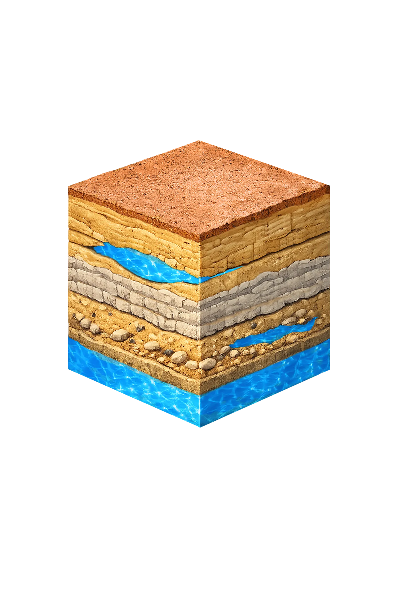
Parker Co.Licensed well drilling, pump repair, and water testing in Aledo, TX, reaching the Trinity aquifer through Parker County's hard limestone.
View details →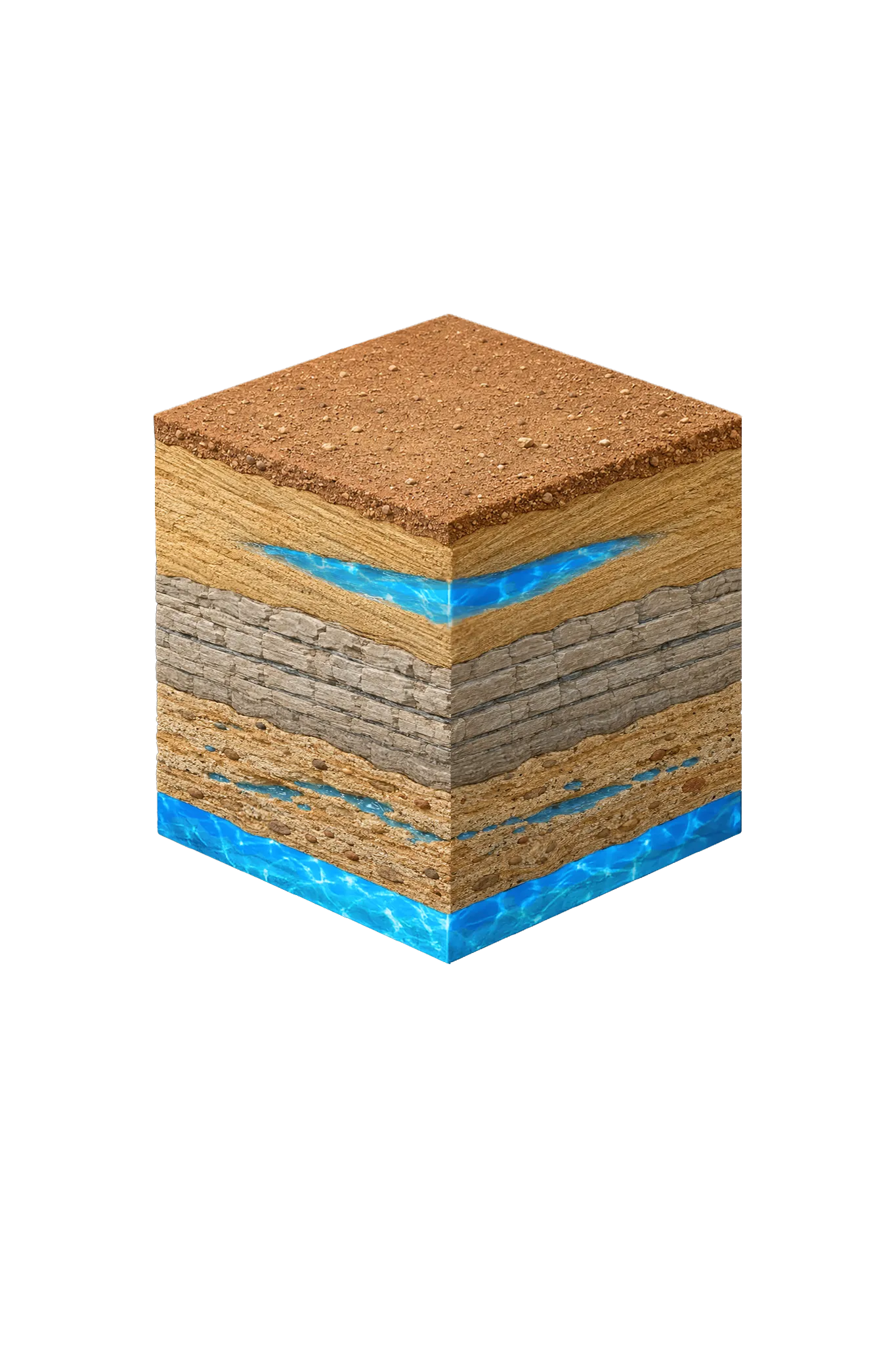
Alvarado, TX
Johnson Co.Licensed well drilling and pump service in Alvarado and north-central Johnson County under Prairielands GCD; Trinity primary, Woodbine secondary.
View details →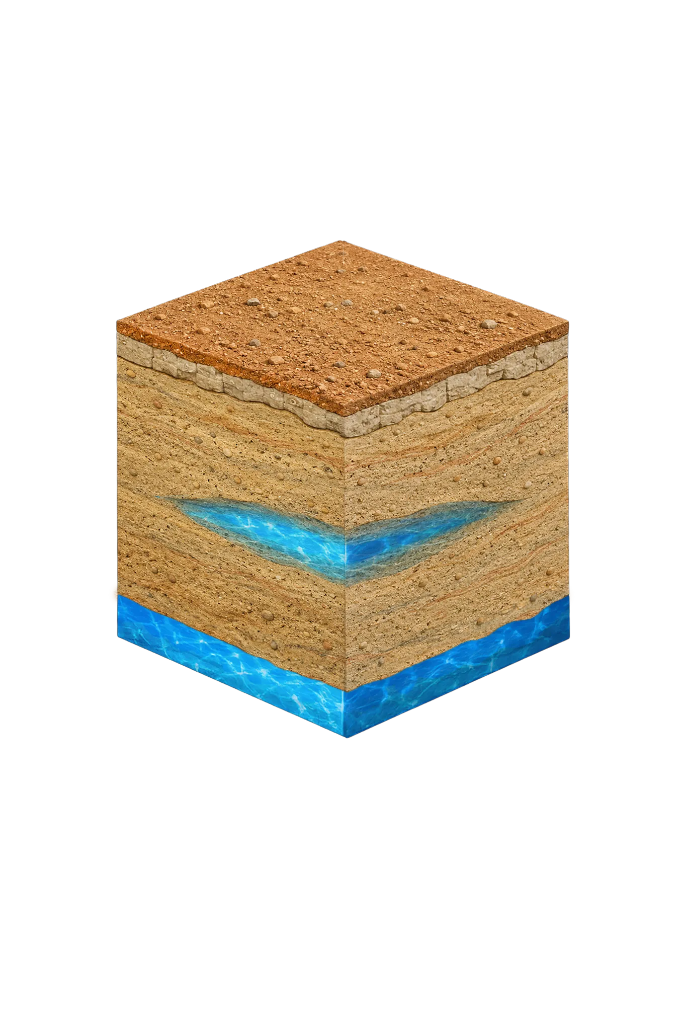

Alvord, TX
Wise Co.Licensed well drilling and pump service throughout Alvord, TX, reaching the Trinity aquifer's Antlers Formation in northern Wise County.
View details →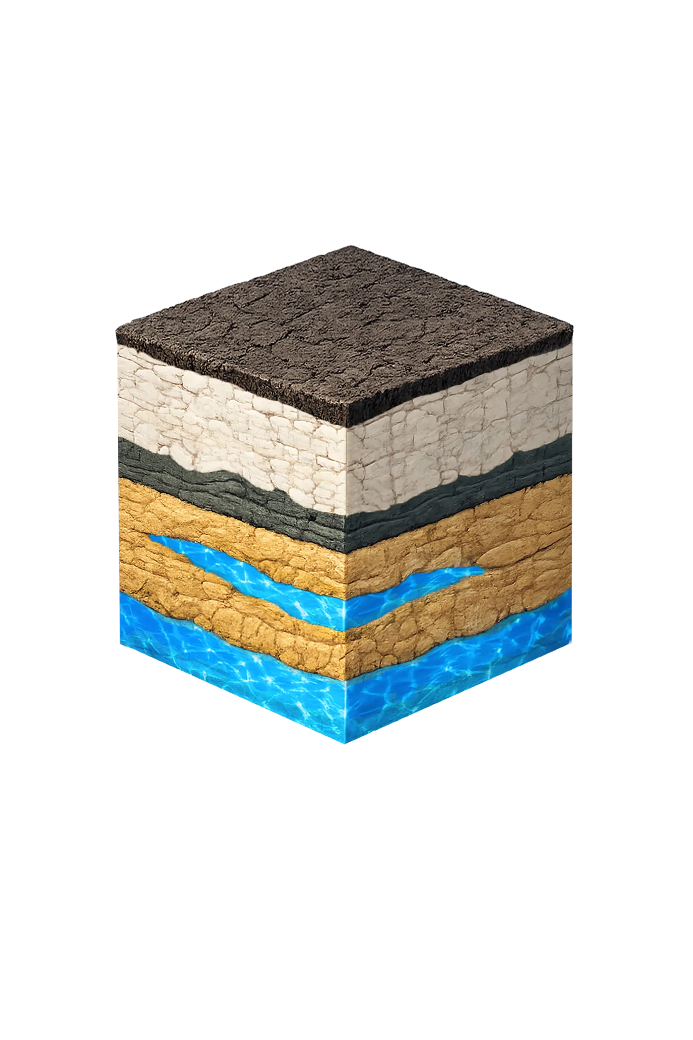

Anna, TX
Collin Co.Licensed well drilling and pump service in Anna, TX, targeting Collin County's Woodbine and Trinity aquifers; depth varies by parcel.
View details →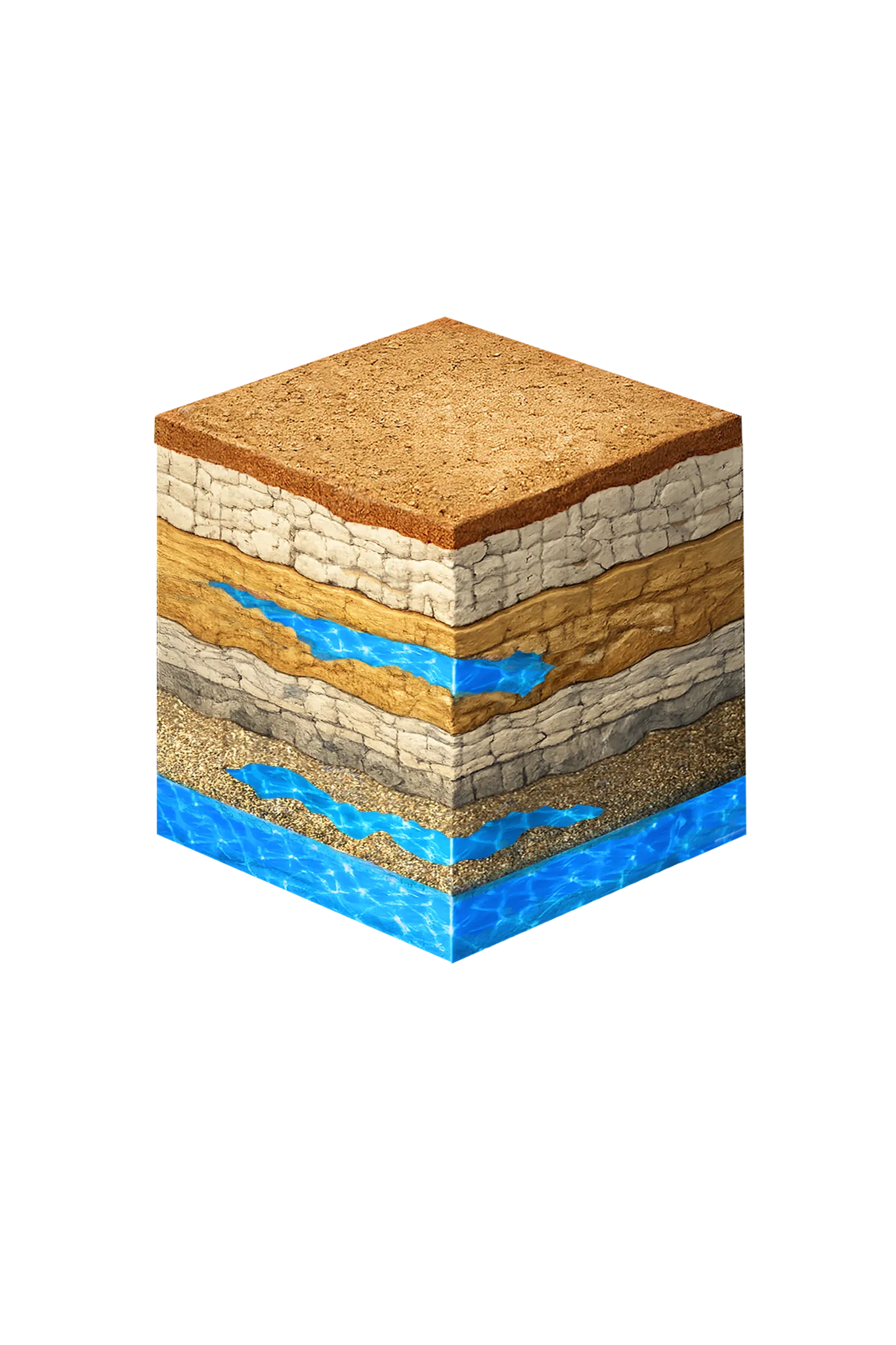
Argyle, TX
Denton Co.Licensed well drilling and pump service on Argyle acreage properties in Denton County, reaching the Trinity aquifer's Paluxy and Twin Mountains sands.
View details →Aubrey, TX
Denton Co.Licensed well drilling and pump service on Aubrey acreage in eastern Denton County, where the Woodbine aquifer is the primary residential source.
View details →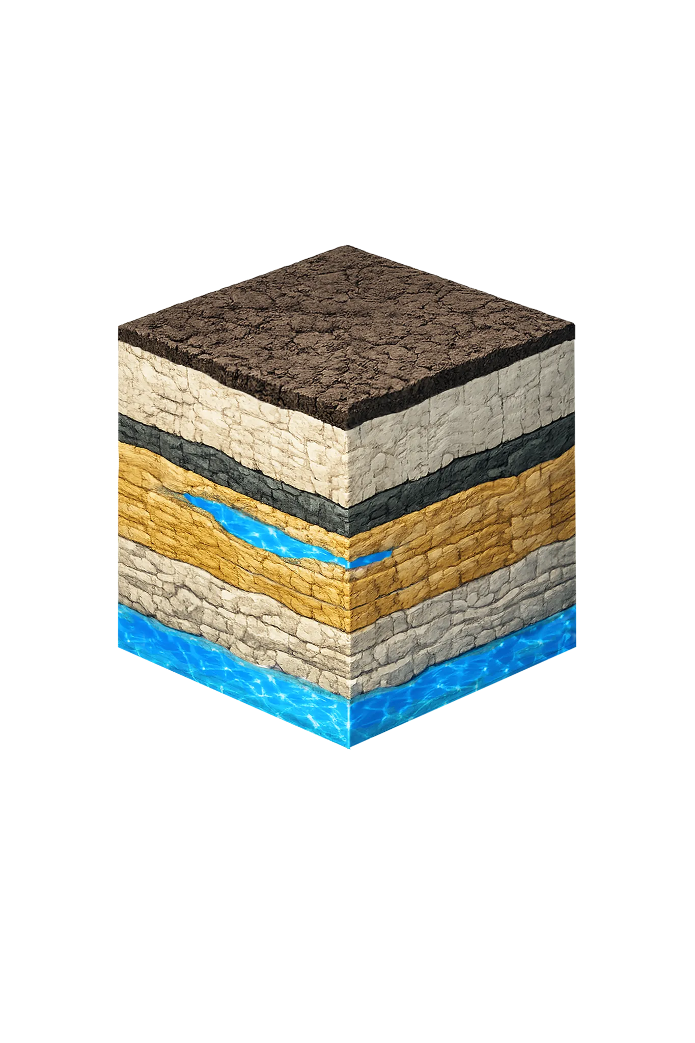
Azle, TX
Tarrant Co.Licensed well drilling and pump service in Azle and northwest Tarrant County, reaching the Trinity's Paluxy and Twin Mountains sands.
View details →B
Bartonville, TX
Denton Co.Licensed well drilling and pump service on Bartonville acreage in Denton County, reaching the Trinity aquifer's Paluxy and Twin Mountains sands.
View details →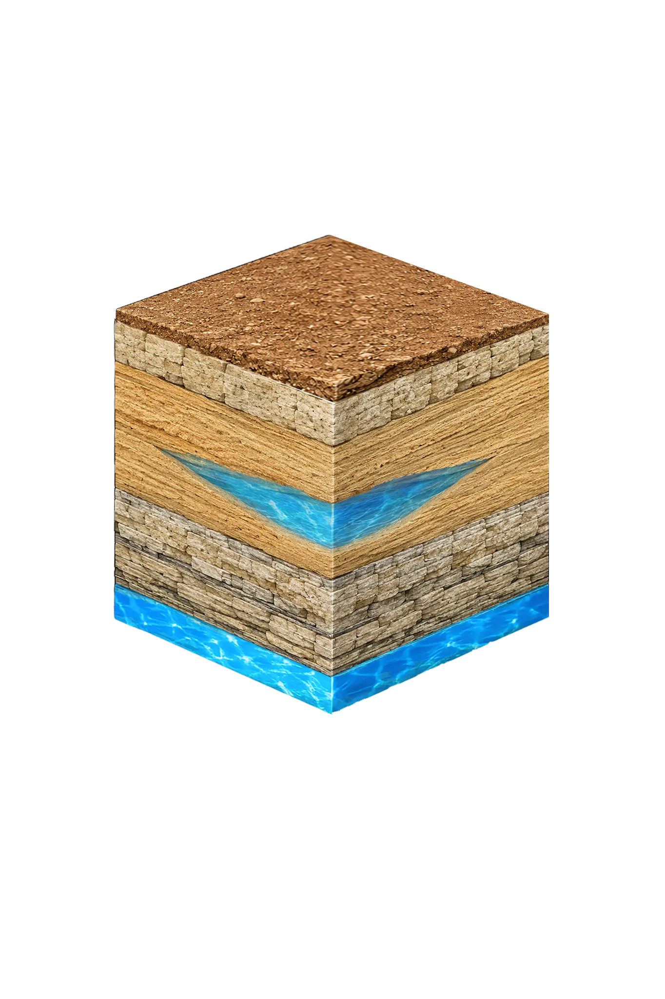
Bluff Dale, TX
Erath Co.Licensed well drilling and pump service in Bluff Dale, TX, reaching the Trinity aquifer's Paluxy and Twin Mountains sands; depth varies by parcel.
View details →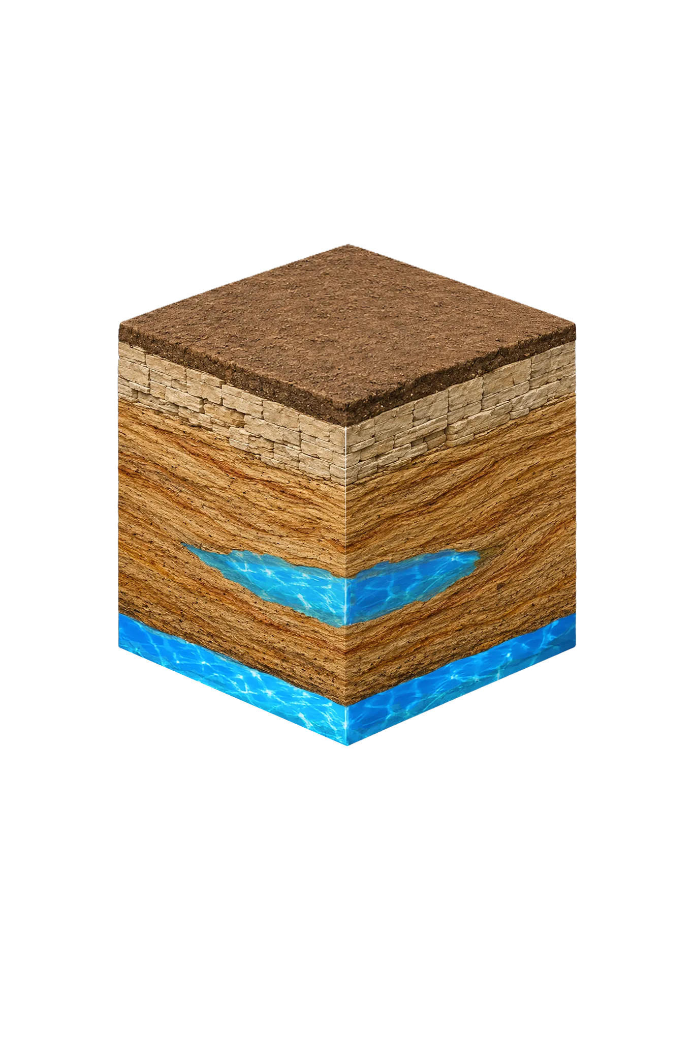
Bonham, TX
Fannin Co.Licensed well drilling and pump service in Bonham and Fannin County, primarily targeting the Woodbine sandstone — depth varies sharply by location.
View details →Boyd, TX
Wise Co.Licensed well drilling and pump service in Boyd, TX, reaching Wise County's Trinity aquifer (Paluxy and Twin Mountains sands); depth varies by parcel.
View details →Bridgeport, TX
Wise Co.Licensed well drilling and pump service in Bridgeport, TX and western Wise County, reaching the Trinity aquifer's Antlers Formation and Cross Timbers units.
View details →Brock, TX
Parker Co.Licensed well drilling and pump service across Brock, TX, reaching the Parker County Trinity aquifer at typical depths of 250–550 ft.
View details →Burleson, TX
Johnson Co.Licensed well drilling and pump service in Burleson — a cross-county area straddling Johnson (Prairielands GCD) and Tarrant (Northern Trinity GCD).
View details →C
Campbell, TX
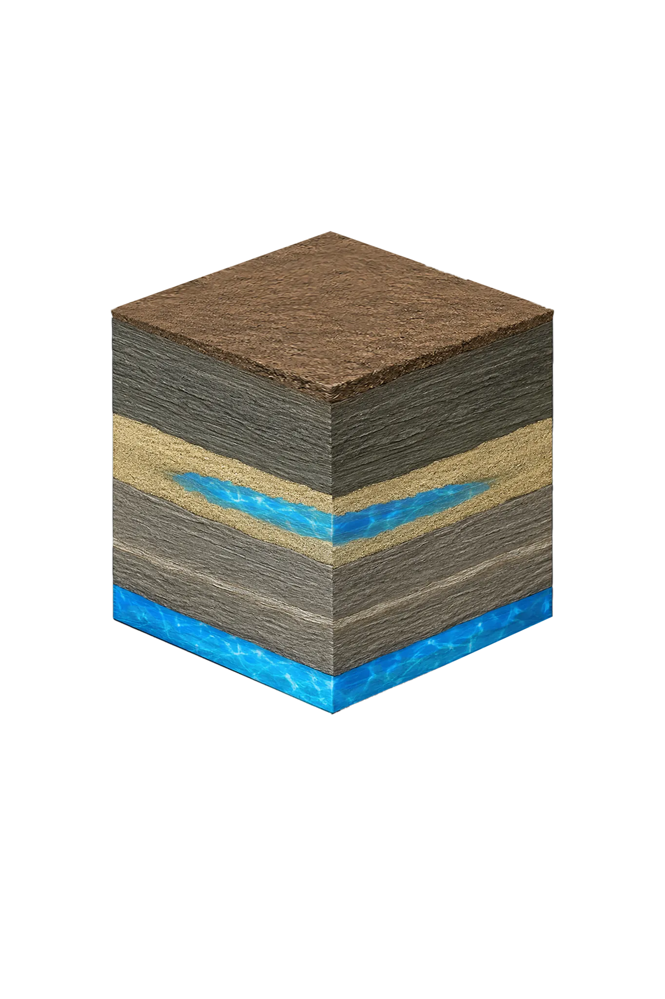
Hunt Co.Licensed well drilling and pump service around Campbell in eastern Hunt County, reaching the Nacatoch Sand at roughly 300 to 650 feet.
View details →Celina, TX
Collin Co.Licensed well drilling and pump service in Celina, TX, targeting Collin County's Woodbine and Trinity aquifers; depth varies by parcel.
View details →Chico, TX
Wise Co.Licensed well drilling and pump service for Chico, TX and northwestern Wise County, reaching the Trinity aquifer's Antlers Formation.
View details →Cleburne, TX
Johnson Co.Licensed well drilling and pump service in Cleburne and Johnson County under Prairielands GCD. Trinity primary, Woodbine secondary; depth varies by parcel.
View details →Colleyville, TX
Tarrant Co.Licensed well drilling and pump service in Colleyville and northeast Tarrant County, reaching the deep, confined Trinity where a private well is the exception.
View details →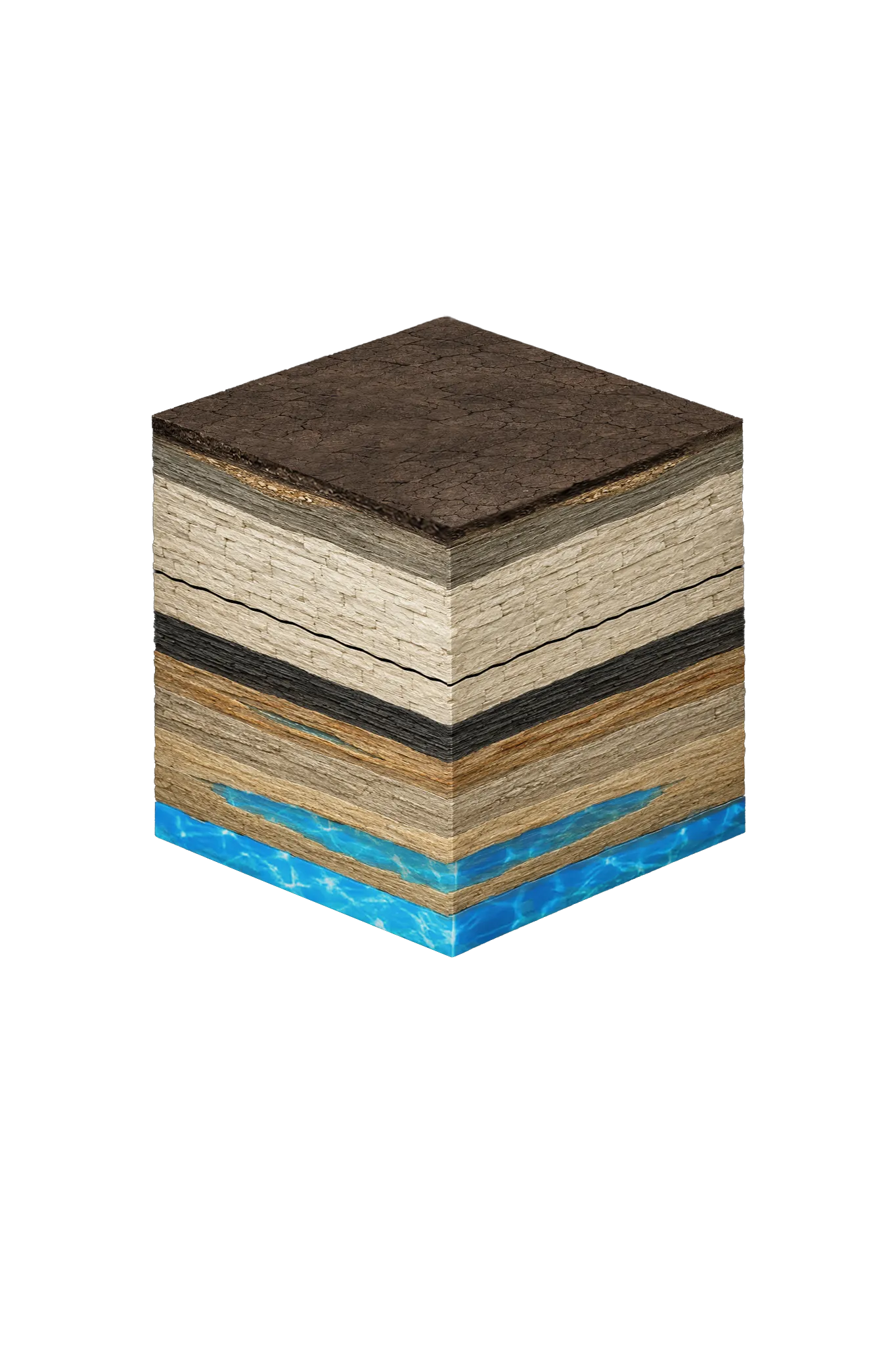
Coppell, TX
Dallas Co.Licensed well drilling and pump service near Coppell in northwestern Dallas County, where usable water sits deep in the confined Woodbine and Trinity.
View details →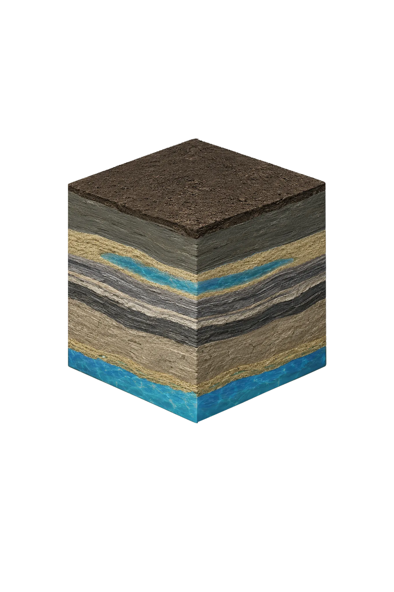
Corsicana, TX
Navarro Co.Licensed well drilling and pump service in Corsicana and Navarro County, where no local GCD operates and TDLR standards govern all well construction.
View details →
Cresson, TX
Hood Co.Licensed well drilling and pump service in Cresson — a tri-county area straddling Hood, Parker, and Johnson. Confirm your parcel's county before drilling.
View details →Crowley, TX
Tarrant Co.Licensed well drilling and pump service in Crowley and south Tarrant County, reaching the deep, confined Trinity Paluxy and Twin Mountains sands.
View details →D
Decatur, TX
Wise Co.Licensed well drilling and pump service throughout Decatur, TX, reaching the Trinity aquifer's Antlers Formation in central Wise County.
View details →
Denison, TX
Grayson Co.DFW Well Service drills and services wells in Denison and Grayson County near Lake Texoma. Red River GCD governs permitting; depth varies by parcel.
View details →Denton, TX
Denton Co.Licensed well drilling and pump service in Denton, TX, where central Denton County sits in the transition between the eastern Woodbine and the western Trinity.
View details →Dublin, TX
Erath Co.Licensed well drilling and pump service in Dublin, TX, reaching the Erath County Trinity aquifer; depth varies by parcel.
View details →E
F
Ferris, TX
Ellis Co.Licensed well drilling and pump service in Ferris and northern Ellis County. Woodbine is the primary residential aquifer; Trinity is deep here.
View details →Flower Mound, TX
Denton Co.Licensed well drilling and pump service on Flower Mound acreage in Denton County, reaching the Trinity aquifer's Paluxy and Twin Mountains sands.
View details →
Forney, TX
Kaufman Co.Water well drilling in Forney and Kaufman County. No GCD; TDLR rules apply. Limited-groundwater county where private wells need site-specific evaluation.
View details →Fort Worth, TX
Tarrant Co.Licensed well drilling and pump service on the rural fringes of Fort Worth in Tarrant County, reaching the deep, confined Trinity sands.
View details →Frisco, TX
Collin Co.Licensed well drilling and pump service on Frisco acreage in western Collin County, where the Woodbine thins and wells target the deeper Trinity.
View details →G
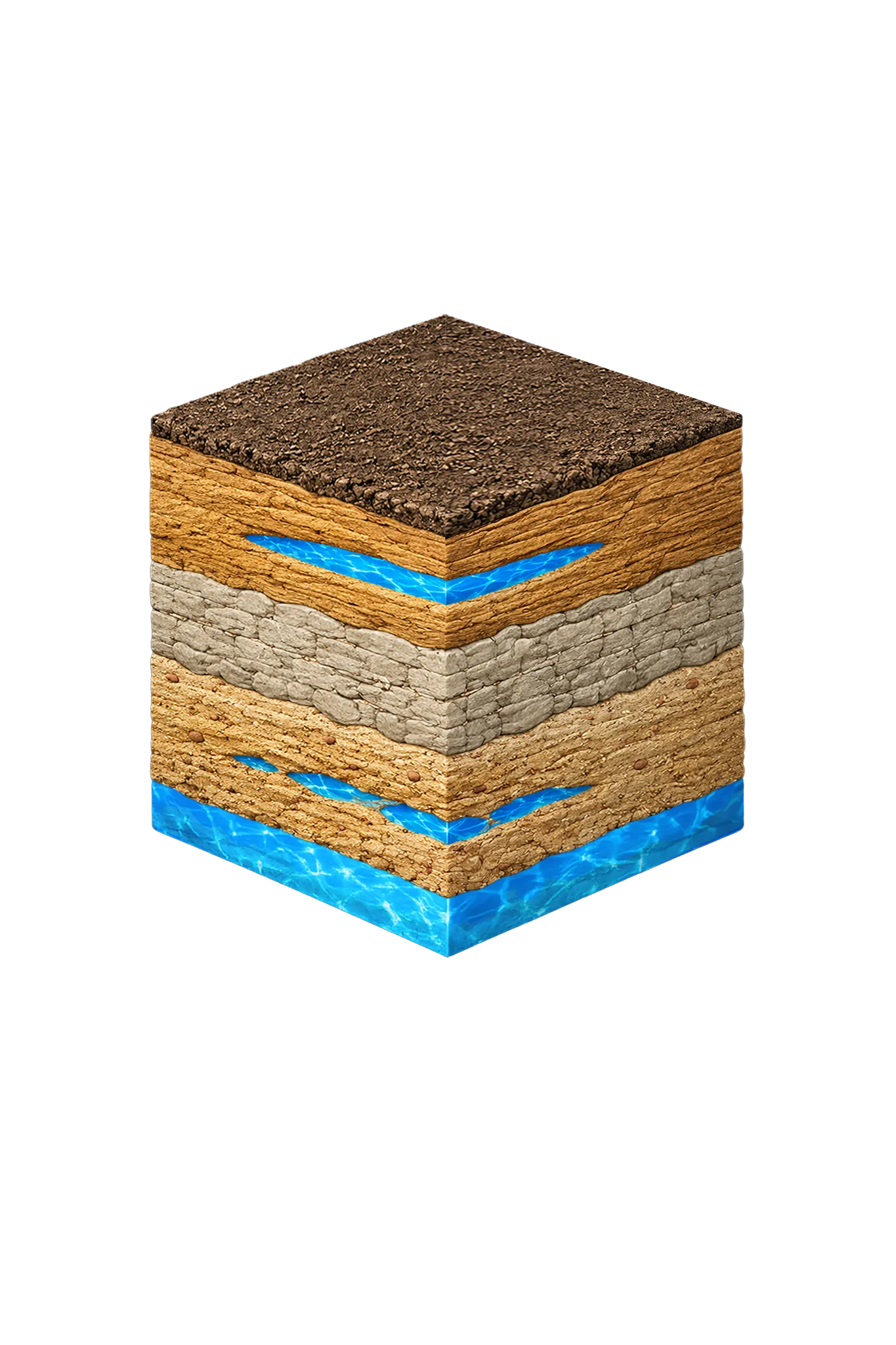
Gainesville, TX
Cooke Co.DFW Well Service is headquartered in Gainesville — our home base. We drill and service Cooke County wells under North Texas GCD.
View details →Garland, TX
Dallas Co.Licensed well drilling and pump service near Garland in eastern Dallas County, where the column above usable Woodbine and Trinity water is thickest.
View details →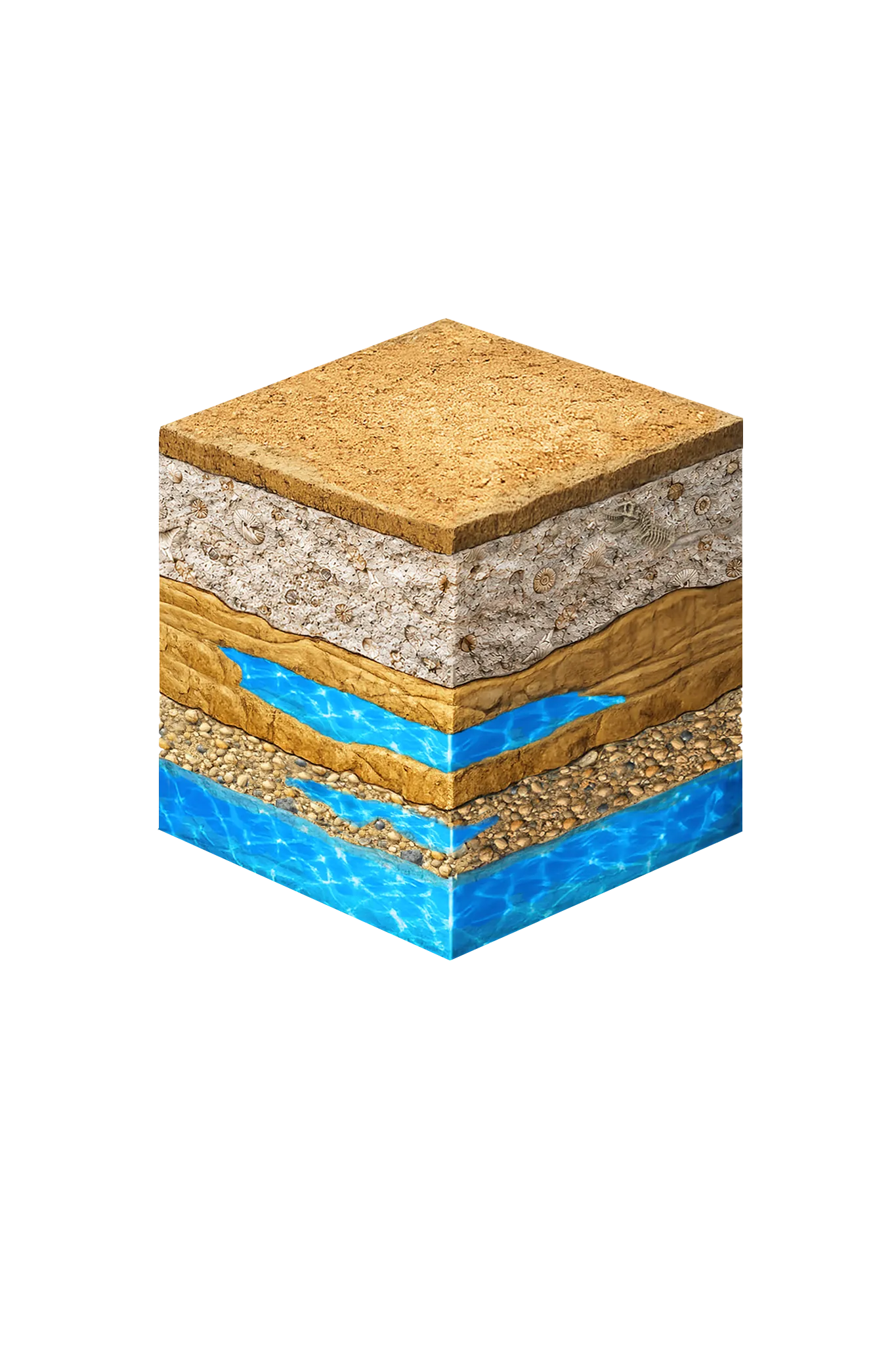
Glen Rose, TX
Somervell Co.Licensed well drilling and pump service in Glen Rose and Somervell County, reaching the Trinity aquifer's Paluxy, Glen Rose, or basal sands.
View details →Godley, TX
Johnson Co.Licensed well drilling and pump service in Godley and western Johnson County under Prairielands GCD, where the Trinity runs at or near the surface.
View details →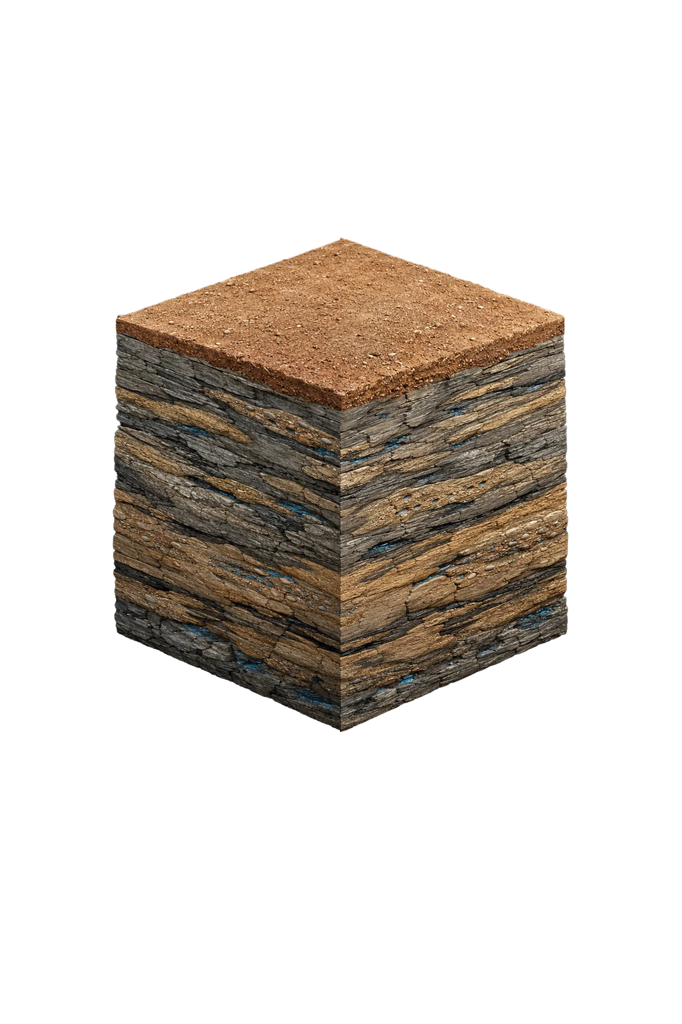
Gordon, TX
Palo Pinto Co.Water well drilling and pump service in Gordon and Palo Pinto County. Pennsylvanian Cross Timbers Aquifer, modest yields, no groundwater district.
View details →Graford, TX
Palo Pinto Co.Water well drilling and pump service in Graford, Possum Kingdom Lake, and Palo Pinto County. Cross Timbers Aquifer, modest yields, no groundwater district.
View details →Granbury, TX
Hood Co.Licensed well drilling and pump service in Granbury and Hood County. Hard limestone Trinity geology — specialized equipment required.
View details →Grandview, TX
Johnson Co.Licensed well drilling and pump service in Grandview and southeast Johnson County under Prairielands GCD; Trinity primary, Woodbine secondary.
View details →Greenville, TX
Hunt Co.Licensed well drilling and pump service for Greenville and rural Hunt County, tapping the Nacatoch Sand at roughly 300 to 650 feet.
View details →H
Haslet, TX
Tarrant Co.Licensed well drilling and pump service in Haslet and north Tarrant County, reaching the deep, confined Trinity Paluxy and Twin Mountains sands.
View details →Honey Grove, TX
Fannin Co.Licensed well drilling and pump service in Honey Grove and eastern Fannin County, targeting the Woodbine sandstone — depth varies sharply by location.
View details →I
Irving, TX
Dallas Co.Licensed well drilling and pump service near Irving in northwestern Dallas County, where usable water sits deep in the confined Woodbine and Trinity.
View details →Ivanhoe, TX
Fannin Co.Licensed well drilling and pump service in Ivanhoe and northern Fannin County, targeting the Woodbine near its outcrop band — depth varies by location.
View details →J
Joshua, TX
Johnson Co.Licensed well drilling and pump service in Joshua, TX, for Johnson County suburban and rural customers, reaching the Trinity aquifer.
View details →Justin, TX
Denton Co.Licensed well drilling and pump service on Justin acreage in western Denton County, reaching the Trinity aquifer's Paluxy and Twin Mountains sands.
View details →K
Keller, TX
Tarrant Co.Licensed well drilling and pump service in Keller and northeast Tarrant County, reaching the deep, confined Trinity Paluxy and Twin Mountains sands.
View details →Kennedale, TX
Tarrant Co.Licensed well drilling and pump service in Kennedale and southeastern Tarrant County, reaching the deep, confined Trinity Paluxy and Twin Mountains sands.
View details →Krum, TX
Denton Co.Licensed well drilling and pump service on Krum acreage in western Denton County, reaching the Trinity aquifer's Paluxy and Twin Mountains sands.
View details →L
Lewisville, TX
Denton Co.Licensed well drilling and pump service in Lewisville, TX, where southeastern Denton County sits between the eastern Woodbine and the deeper Trinity sands.
View details →Lindsay, TX
Cooke Co.Licensed well drilling and pump service on Lindsay acreage in western Cooke County — Antlers Trinity outcrop country, under North Texas GCD.
View details →Lipan, TX
Hood Co.Licensed well drilling and pump service in Lipan and western Hood County. Hard limestone Trinity geology — specialized equipment required.
View details →M
Mansfield, TX
Tarrant Co.Licensed well drilling and pump service in Mansfield and southeast Tarrant County, reaching the deep, confined Trinity Paluxy and Twin Mountains sands.
View details →McKinney, TX
Collin Co.Licensed well drilling and pump service in McKinney, TX, targeting central Collin County's Woodbine aquifer; depth varies by parcel.
View details →Midlothian, TX
Ellis Co.Licensed well drilling and pump service in Midlothian, TX. Woodbine is the primary Ellis County residential aquifer; Trinity is deep here.
View details →Millsap, TX
Parker Co.Licensed well drilling and pump service in Millsap, TX, working through Parker County's limestone to reach the Trinity's Paluxy and Twin Mountains sands.
View details →Mineral Wells, TX
Palo Pinto Co.Water well drilling and pump service in Mineral Wells and Palo Pinto County. Pennsylvanian Cross Timbers Aquifer, modest yields, no GCD. Local know-how matters.
View details →Muenster, TX
Cooke Co.Licensed well drilling and pump service on Muenster acreage in western Cooke County — Antlers Trinity outcrop country, under North Texas GCD.
View details →N
P
Palo Pinto, TX
Palo Pinto Co.Water well drilling and pump service in the town of Palo Pinto and across Palo Pinto County. Cross Timbers Aquifer, modest yields, no groundwater district.
View details →Paradise, TX
Wise Co.Licensed well drilling and pump service in Paradise and rural Wise County, reaching the Trinity aquifer for ranch and residential customers.
View details →Peaster, TX
Parker Co.Licensed well drilling and pump service for farms and rural homes in Peaster and Parker County's hard limestone terrain, reaching the deep Trinity aquifer.
View details →Pilot Point, TX
Denton Co.Licensed well drilling and pump service on Pilot Point horse properties in eastern Denton County, where the Woodbine aquifer is the primary residential source.
View details →Plano, TX
Collin Co.Licensed well drilling and pump service on Plano acreage in western Collin County, where the Woodbine thins and wells target the deeper Trinity.
View details →Ponder, TX
Denton Co.Licensed well drilling and pump service on Ponder acreage in western Denton County, reaching the Trinity aquifer's Paluxy and Twin Mountains sands.
View details →Poolville, TX
Parker Co.Licensed well drilling and pump service for Poolville, TX acreage homes and ranches, reaching the Parker County Trinity aquifer at 250–550 ft.
View details →Pottsboro, TX
Grayson Co.DFW Well Service drills and services wells in Pottsboro and Grayson County near Lake Texoma. Red River GCD governs permitting; depth varies by parcel.
View details →Princeton, TX
Collin Co.Licensed well drilling and pump service in Princeton, TX, targeting Collin County's Woodbine and Trinity aquifers; depth varies by parcel.
View details →Prosper, TX
Collin Co.Licensed well drilling and pump service on Prosper acreage lots in Collin County, targeting Woodbine or deeper Trinity formations; depth varies by parcel.
View details →Q
R
Ravenna, TX
Fannin Co.Licensed well drilling and pump service in Ravenna and northern Fannin County, targeting the Woodbine near the Red River outcrop band.
View details →Rhome, TX
Wise Co.Licensed well drilling and pump service in Rhome and throughout rural Wise County, reaching the Trinity aquifer's limestone formations.
View details →Richardson, TX
Dallas Co.Licensed well drilling and pump service near Richardson in northern Dallas County, where usable water sits deep in the confined Woodbine and Trinity.
View details →Rio Vista, TX
Johnson Co.Licensed well drilling and pump service in Rio Vista and south-central Johnson County under Prairielands GCD, reaching the Trinity Paluxy and basal sands.
View details →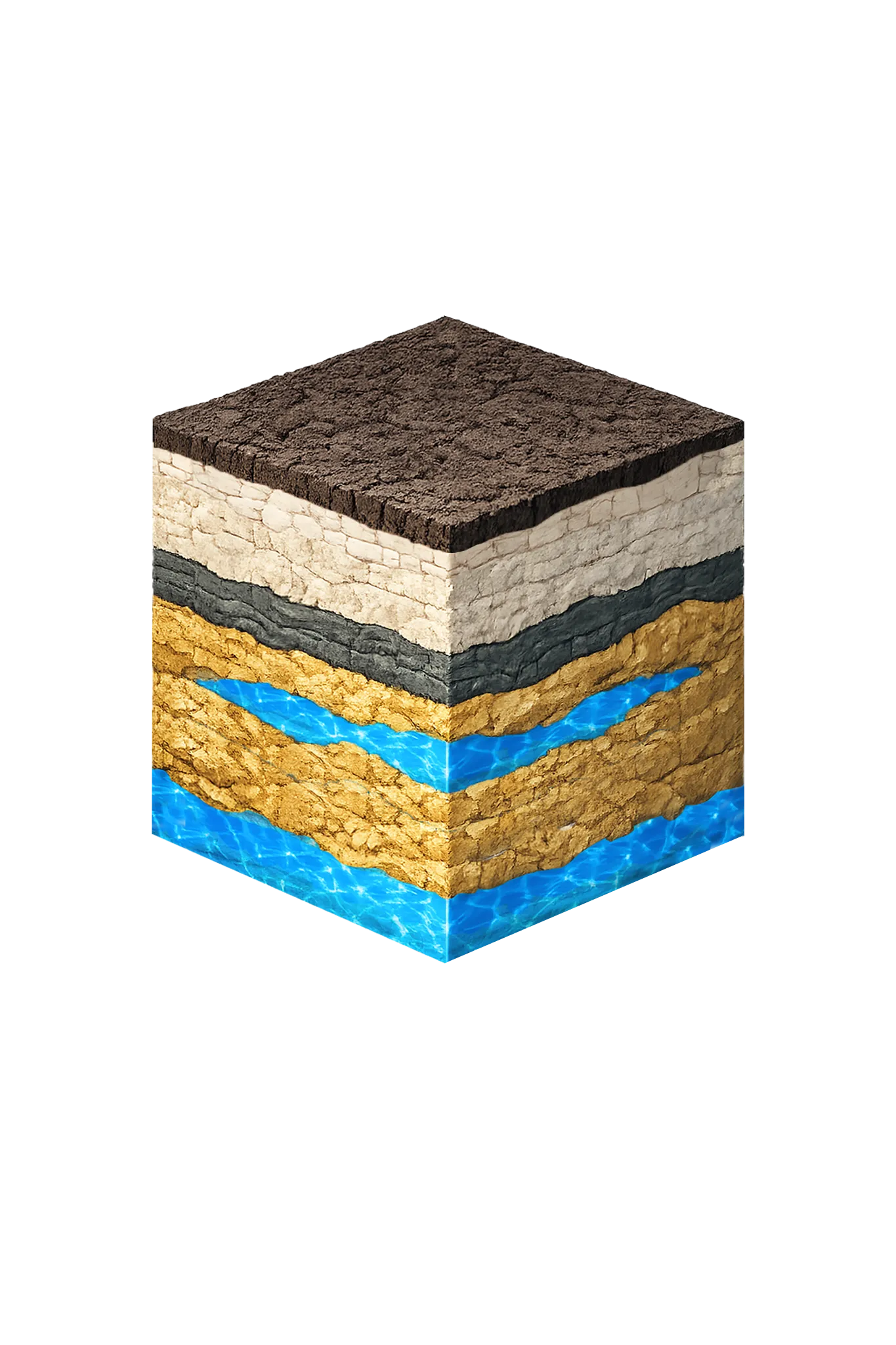
Rockwall, TX
Rockwall Co.Licensed well service near Rockwall, where usable groundwater is minimal and treated city water is the realistic source for nearly every property.
View details →S
Sanger, TX
Denton Co.Licensed well drilling and pump service in Sanger and northern Denton County, reaching the Trinity aquifer's Antlers Formation sands.
View details →Santo, TX
Palo Pinto Co.Water well drilling and pump service in Santo and Palo Pinto County. Pennsylvanian Cross Timbers Aquifer, modest yields, no groundwater district.
View details →Seagoville, TX
Dallas Co.Licensed well drilling and pump service near Seagoville in southeastern Dallas County, where usable water sits deep in the confined Woodbine and Trinity.
View details →Sherman, TX
Grayson Co.DFW Well Service drills and services wells in Sherman and Grayson County under Red River GCD. Woodbine, Antlers (Trinity); depth varies by parcel.
View details →Southlake, TX
Tarrant Co.Licensed well drilling and pump service in Southlake and northeast Tarrant County, reaching the deep, confined Trinity where a private well is the exception.
View details →Springtown, TX
Parker Co.Licensed well drilling and pump service in Springtown, TX, reaching the Parker County Trinity aquifer at typical depths of 250–550 ft.
View details →Stephenville, TX
Erath Co.Licensed well drilling and pump service in Stephenville, TX, reaching the Trinity aquifer's Paluxy and Twin Mountains sands; depth varies by parcel.
View details →T
Telephone, TX
Fannin Co.Licensed well drilling and pump service in Telephone and far northern Fannin County, targeting the Woodbine along the Red River outcrop band.
View details →Terrell, TX
Kaufman Co.Water well drilling and pump repair in Terrell and Kaufman County. No GCD; TDLR standards apply. Very limited groundwater; site-specific evaluation needed.
View details →Tioga, TX
Grayson Co.DFW Well Service drills and services wells in Tioga and southern Grayson County. Red River GCD governs permitting; the Woodbine is the primary aquifer.
View details →Tolar, TX
Hood Co.Licensed well drilling and pump service in Tolar and western Hood County. Hard limestone Trinity geology — specialized equipment required.
View details →V
Valley View, TX
Cooke Co.Licensed well drilling and pump service on Valley View acreage in southern Cooke County, in the Woodbine-and-Antlers transition, under North Texas GCD.
View details →Van Alstyne, TX
Grayson Co.Licensed well drilling and pump service in Van Alstyne and Grayson County, where the Woodbine aquifer supplies most rural acreage properties.
View details →Venus, TX
Johnson Co.Licensed well drilling and pump service in Venus and eastern Johnson County under Prairielands GCD, reaching the deep, confined Trinity beneath Austin Chalk.
View details →W
Waxahachie, TX
Ellis Co.Licensed well drilling and pump service in Waxahachie, TX. Woodbine is the primary Ellis County residential aquifer; Trinity is deep here.
View details →Weatherford, TX
Parker Co.DFW Well Service drills and services water wells in Weatherford, TX, reaching the Trinity aquifer through Parker County's limestone formations at 250–550 ft.
View details →Whitesboro, TX
Grayson Co.DFW Well Service drills and services wells in Whitesboro and western Grayson County. Red River GCD governs permitting; depth varies by parcel.
View details →







Don't see your city?
We cover all of North Texas. Call us — most calls answered same day.

Our Reliability Runs Deep
Licensed
TDLR License #61234 DKMPW
Oklahoma License DPC-1042 (Operator #OP-2530)
Request Well Service or a Drilling Estimate
Tell us a little about your property and what you need help with. We respond within a few hours during business hours.