

Water Well Drilling & Pump Repair in Alvarado, TX | DFW Well Service
Service Area Overview
Licensed well drilling and pump service in Alvarado and north-central Johnson County under Prairielands GCD; Trinity primary, Woodbine secondary.
Services We Provide in Alvarado
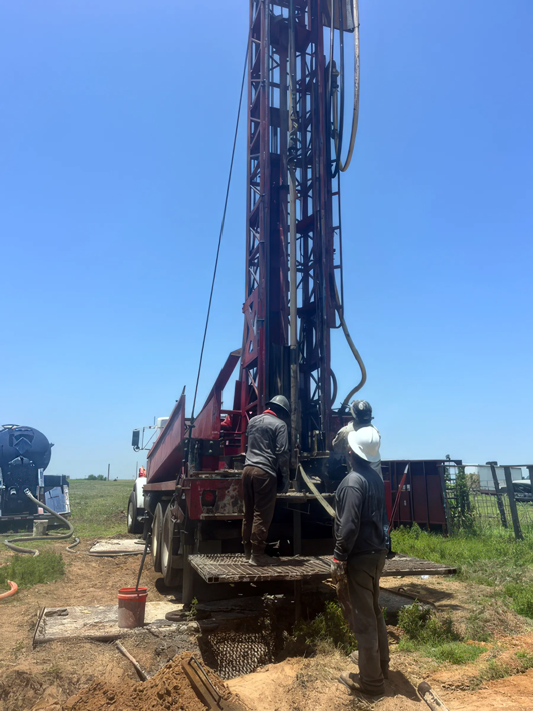
DFW Well Service provides water well drilling, pump repair, and inspection services in Alvarado and throughout Johnson County. Alvarado sits along I-35W in north-central Johnson County, a growing community where new suburban development and established rural acreage exist side by side. Many properties on the city’s rural fringes and in unincorporated Johnson County still depend on private wells, and that’s where we come in.
Well Depth & Geology in the Alvarado Area
About this diagram
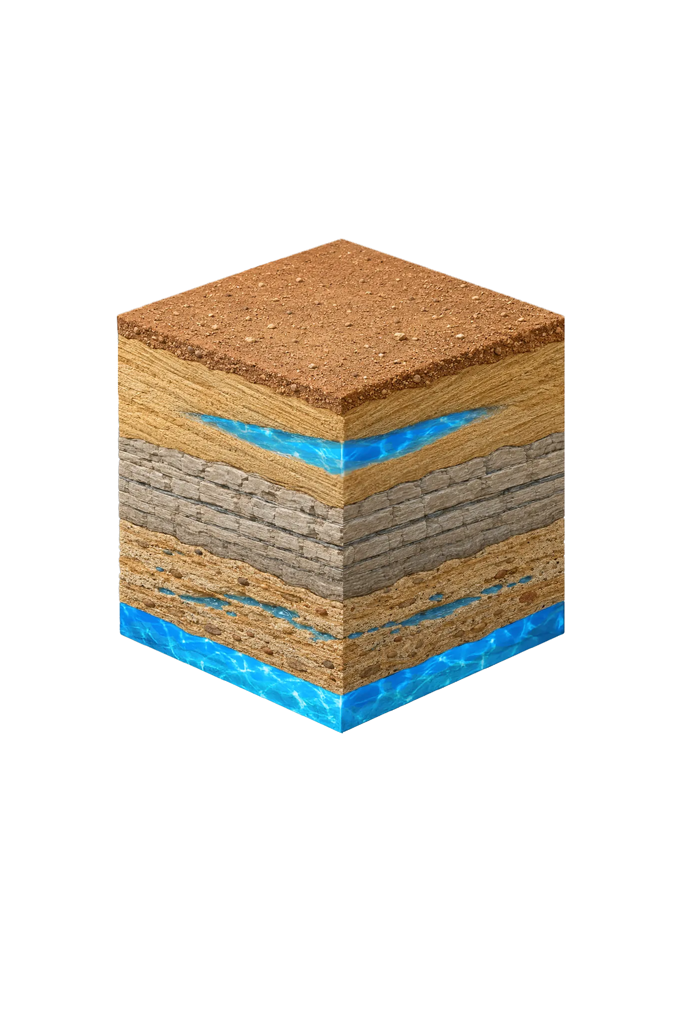
This cross-section shows the rock layers beneath Alvarado from topsoil down to the Trinity aquifer system.
Tap any layer in the cube — or in the list below — to see what it is and what it means for drilling a well here.
- Topsoil — Blackland Prairie / Cross Timbers fringe0–15 ft
- Paluxy Sand (Trinity upper unit)outcrop west; deep east
- Glen Rose Formationbelow Paluxy
- Hosston Conglomerate (Trinity basal sand; = Twin Mountains)deepest Trinity
This shows the layer stack typical of the Alvarado area. The exact formations and depths under a specific property vary — see the details above.
- Primary Aquifer
- Trinity (Paluxy / Glen Rose / Hensell / Hosston)
- Typical Well Depth
- Varies by location
- Groundwater District
- Prairielands GCD
- Confinement
- outcrop/shallow subcrop in western Johnson County; deep confined beneath Eagle Ford/Austin Chalk in eastern Johnson County
Secondary: Woodbine (subsurface across central and eastern Johnson County)
We estimate from nearby well records
Johnson County overview → Permit & regulations → TDLR License #61234 DKMPW Updated August 6, 2026
Wells around Alvarado draw mainly from the Trinity aquifer, with the Woodbine as a minor secondary source in parts of the county. Alvarado is in north-central Johnson County, in the transition zone of the county’s east/west split: the Trinity sands — the Paluxy on top, the Glen Rose limestone in the middle, and the deep basal sands (which Prairielands GCD calls the Hensell and Hosston, the same units known as the Twin Mountains farther north) — sit under a cover of Eagle Ford shale and Austin Chalk that thickens toward the east. There’s no single typical depth across Johnson County; it varies meaningfully by parcel and by which layer the well targets.
Drilling rates in Johnson County run $32–$50 per foot, with formation hardness and depth determining where your project falls in that range.
Johnson County Permit Requirements
New wells in Johnson County require a pre-drilling permit through the Prairielands Groundwater Conservation District (PGCD), which covers Ellis, Hill, Johnson, and Somervell counties. The district enforces spacing and setback rules and requires a completion report with driller’s log after the well is finished. For a complete overview, see our guide to Johnson County water well regulations.
DFW Well Service (TDLR License #61234 DKMPW) serves Alvarado and all of Johnson County for well drilling and pump service. Call (940) 536-8560 for a free estimate.