

Water Well Drilling & Pump Repair in Ferris, TX | DFW Well Service
Service Area Overview
Licensed well drilling and pump service in Ferris and northern Ellis County. Woodbine is the primary residential aquifer; Trinity is deep here.
Services We Provide in Ferris
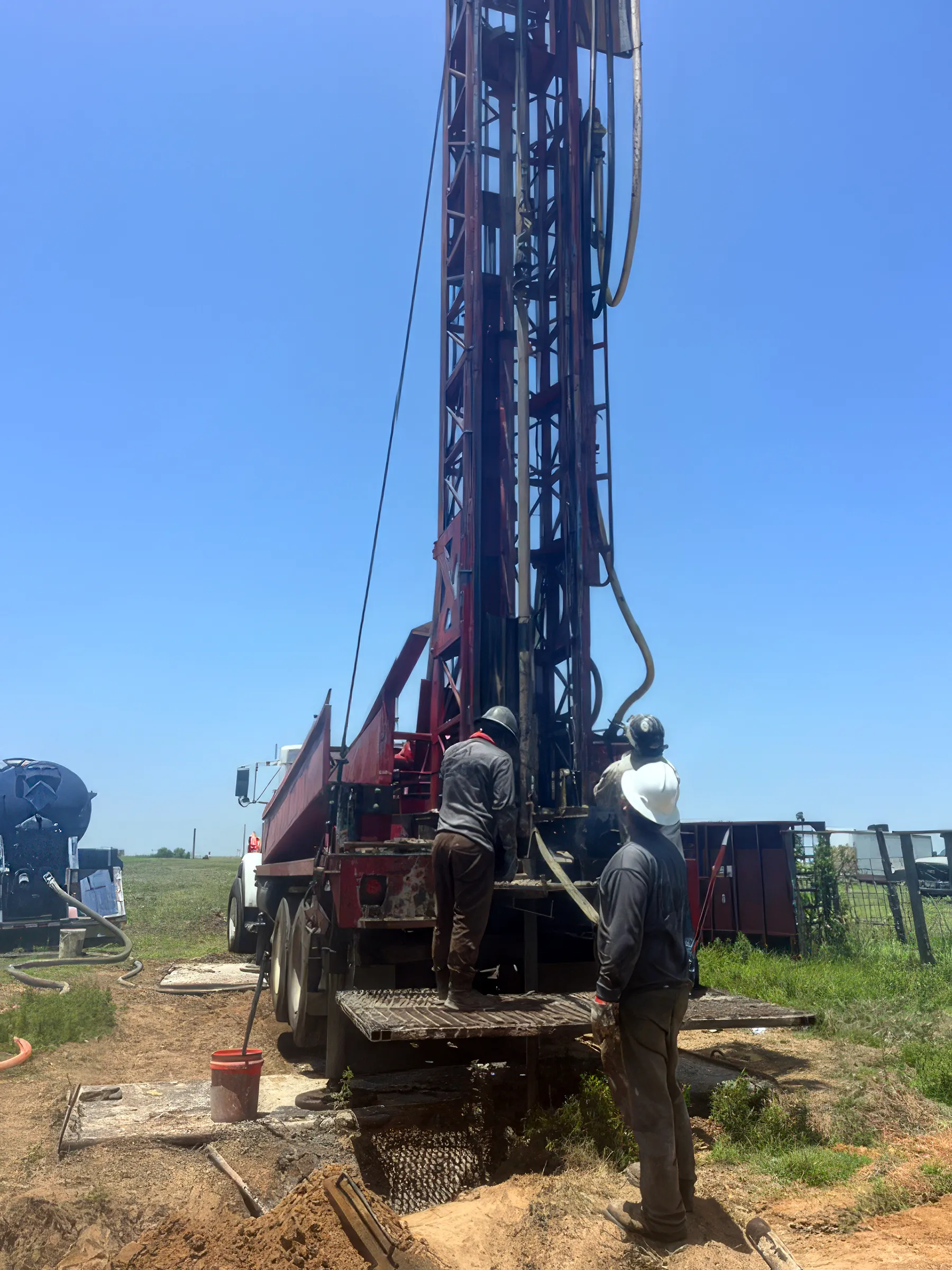
DFW Well Service provides water well drilling, pump repair, and related services throughout Ferris and the surrounding Ellis County area. Ferris sits at the northern edge of Ellis County on the Dallas County line, blending a small-city core with rural acreage on its outskirts — and many of those rural properties depend on private water wells. Whether you’re on an established rural tract or developing a new acreage property outside city water service, we can help.
Well Depth & Geology in the Ferris Area
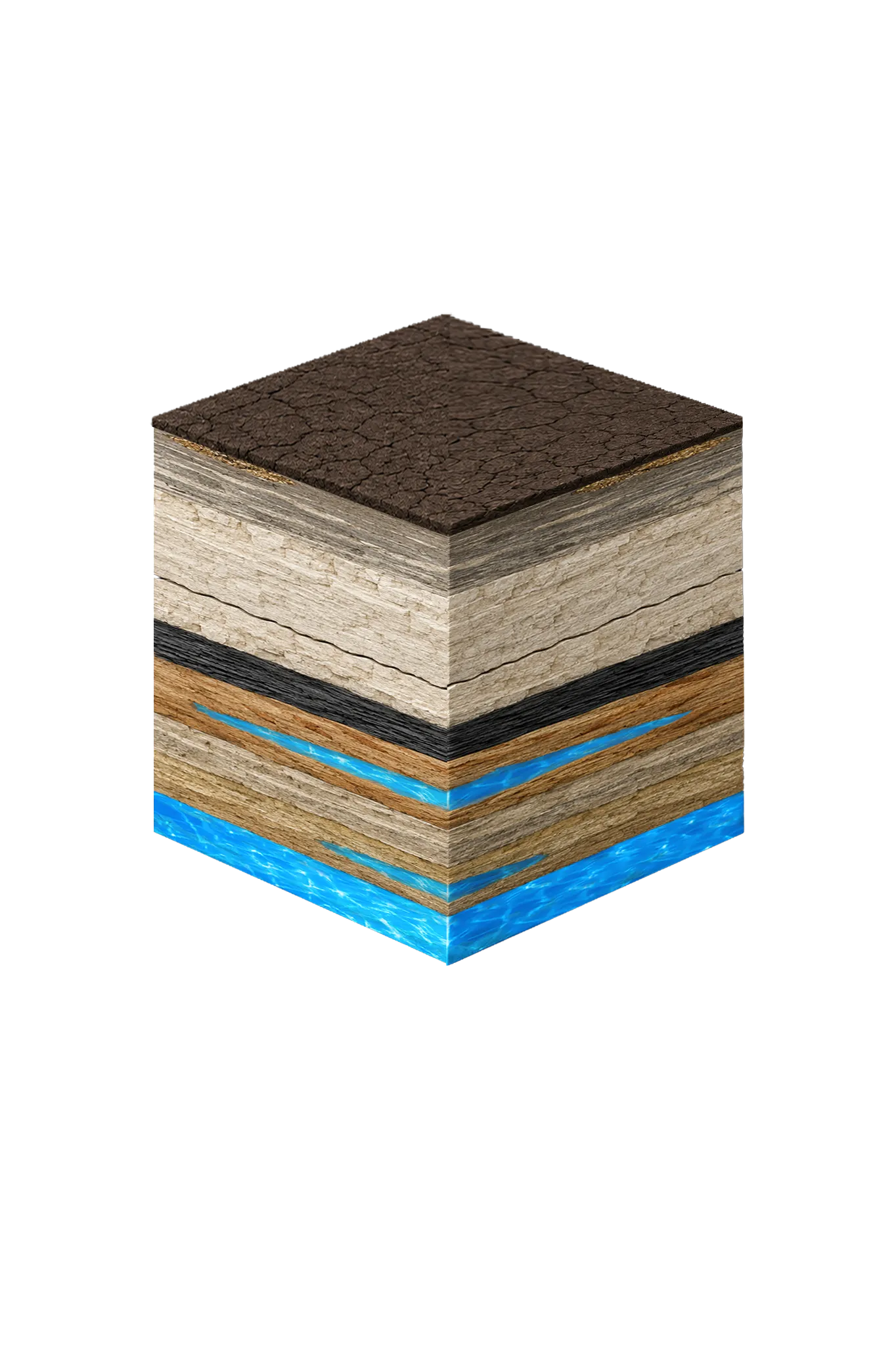

About this diagram
This cross-section shows the rock layers beneath Ferris from topsoil down to the Woodbine aquifer system.
Tap any layer in the cube — or in the list below — to see what it is and what it means for drilling a well here.
- Topsoil — Blackland Prairie (Houston Black)0–15 ft
- Austin Chalkvaries
- Eagle Ford Shalebelow Austin Chalk
- Woodbine Formation / Woodbine Aquifer100–1,400 (variable across county) ft
- Trinity Group: Paluxy / Glen Rose / Hensell / Hosston (= Twin Mountains)~2,000–3,000 (Hosston/Twin Mountains) ft
This shows the layer stack typical of the Ferris area. The exact formations and depths under a specific property vary — see the details above.
- Primary Aquifer
- Woodbine
- Typical Well Depth
- Varies by location
- Groundwater District
- Prairielands GCD
- Confinement
- deep confined subcrop; ~100–1,400 ft beneath Ellis County
Secondary: Trinity (deep — Hosston/Twin Mountains at ~2,000–3,000 ft)
We estimate from nearby well records
Ellis County overview → Permit & regulations → TDLR License #61234 DKMPW Updated August 7, 2026
Wells around Ferris draw mainly from the Woodbine, the primary residential aquifer across Ellis County, with the deeper Trinity as a secondary target far below it. Ellis County sits on Austin Chalk and Eagle Ford bedrock, and the Trinity is present only at substantial depth countywide. The Woodbine has a regional thickness of roughly 100–1,400 feet; the deeper Trinity sands (the Twin Mountains and Paluxy) reach roughly 2,000–3,000 feet down in southeastern Ellis County — not the few-hundred-foot range you’d see in the outcrop counties to the west. Ferris sits in northern Ellis County, closer to the recharge side than Ennis or the far southeast, so both depth and mineralization tend to run somewhat lower here.
Drilling rates in Ellis County typically run $32–$45 per foot. Trinity completions can be substantially deeper than Woodbine completions and project cost varies accordingly.
Ellis County Permit Requirements
All new wells in Ellis County require a permit through the Prairielands Groundwater Conservation District before drilling begins. The PGCD regulates well spacing, construction standards, and production for both exempt domestic wells and non-exempt production wells. For more detail on the county permitting process, see our guide to Ellis County water well regulations.
Ready to move forward? DFW Well Service (TDLR License #61234 DKMPW) offers free estimates for new well drilling anywhere in Ellis County. Call us at (940) 536-8560 to discuss your property and get a quote.