

Water Well Drilling & Pump Repair in Denton, TX | DFW Well Service
Service Area Overview
Licensed well drilling and pump service in Denton, TX, where central Denton County sits in the transition between the eastern Woodbine and the western Trinity.

Services We Provide in Denton
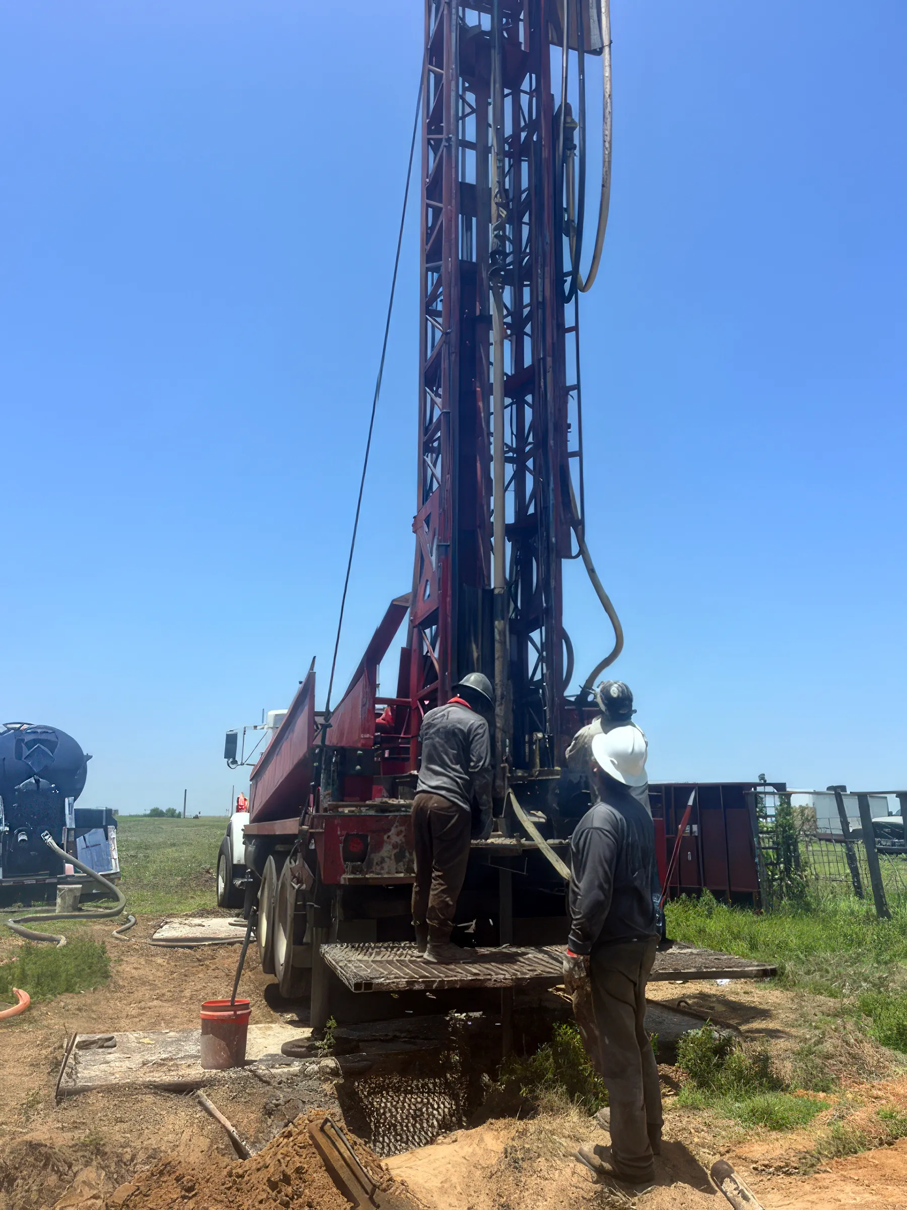
DFW Well Service provides water well drilling, pump repair, and inspection services throughout Denton and the surrounding central Denton County acreage. Denton, the county seat, blends a growing university-town core with rural acreage on its edges — and many of those outlying tracts rely on private water wells. Keeping those wells performing is our business.
Well Depth & Geology in the Denton Area

About this diagram
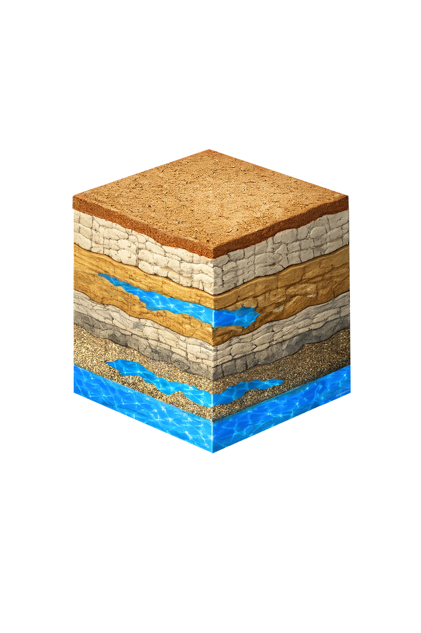
This cross-section shows the rock layers beneath Denton from topsoil down to the Trinity aquifer system.
Tap any layer in the cube — or in the list below — to see what it is and what it means for drilling a well here.
- Topsoil — Cross Timbers transition0–15 ft
- Comanche Peak / Walnut limestone15–80 ft
- Paluxy Formation80–250 ft
- Glen Rose Formation250–350 ft
- Twin Mountains Formation350–450 ft
This shows the layer stack typical of the Denton area. The exact formations and depths under a specific property vary — see the details above.
- Primary Aquifer
- Trinity (Paluxy / Glen Rose / Twin Mountains; Antlers in northern Denton County)
- Typical Well Depth
- Varies by location
- Groundwater District
- North Texas GCD
- Confinement
- confined; outcrop in far western Denton County
Secondary: Woodbine (eastern Denton County)
We estimate from nearby well records
Denton County overview → Permit & regulations → TDLR License #61234 DKMPW Updated August 6, 2026
Denton sits in central Denton County, which is geologically bisected east to west. On the eastern side of the county the Woodbine is the primary residential aquifer; across the central and western county the Trinity takes over, with most domestic wells completing in the upper Paluxy sand or the deeper Twin Mountains sand. Denton itself falls in the transition between the two, so the producing aquifer depends on the parcel. Between the Paluxy and the Twin Mountains sits the Glen Rose Formation — mostly solid limestone that holds little water, so a well is cased through it to reach the sand below. Depth varies meaningfully from one parcel to the next, so there’s no single typical figure for the area.
Drilling rates in Denton County typically run $38–$50 per foot. Mixed formations and occasional hard limestone can affect total project cost. Longer term, the district projects the water level in the deeper Twin Mountains sand under Denton County to drop several hundred feet by 2080 — the steepest decline in the region — which is worth designing a well around.
Denton County Permit Requirements
New wells in Denton County are regulated by the North Texas Groundwater Conservation District. A pre-drilling permit is required for all new well construction, and even exempt domestic and livestock wells must register with the district. For full details on the county process, see our guide to Denton County water well regulations.
DFW Well Service (TDLR License #61234 DKMPW) works on acreage properties throughout the Denton area. Call us at (940) 536-8560 for a free estimate on new well drilling or pump service.